|
|
| A collection of maps | ||
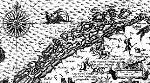
Olaus Magnus: Carta Marina (1539). The Nordic Countries. |
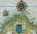
Abraham Ortelius (1570): The Nordic Countries. |
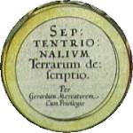
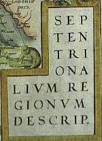
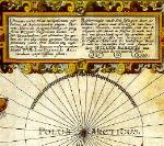
Gerard Mercator (1606): Polar region. |
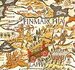
Lucas Waghenaer: Finmarchia (1592) |
Jan Huyghens van Linschoten (1601): Scandinavian countries and northern Russia. |
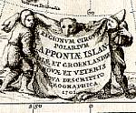
Willem Barentsz (1599): Polar map. |
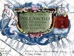
Joannes Janssonius (1657): Polar region. |
Pieter Goos (1666): Norway, Lappland, Iceland, Spitzbergen and Jan Mayen. |
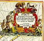
Vincentius Coronelli (1690): Polar region. |
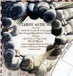
Heinrich Scherer (1702): Polar region. |
|
|
|
|
||

|
© University Library of Tromsø - 1999.
The Northern Lights Route is part of The Council of Europe Cultural Routes. The Cultural Routes are an invitation to Europeans to wander the paths and explore the places where the unity and diversity of our European identity were forged.
|

|